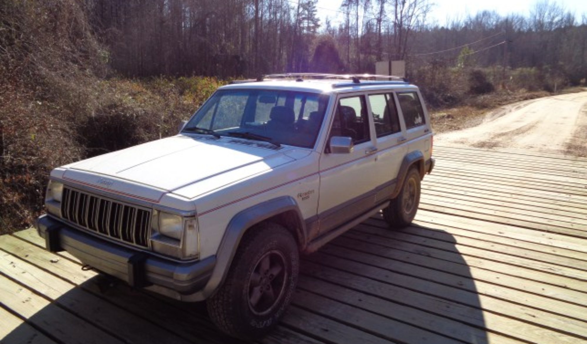
White Jeep explores the Franklin State Forest
I have been looking for an adventure to test out my rebuilt White Jeep. I have passed through Franklin State forest many times and been curious about the dirt roads on either side of Highway 156. So today I decide to go exploring.
I started at the park headquarters on Highway 156. There was a map posted in the kiosk but none available to take with me. So I downloaded the PDF to my phone.
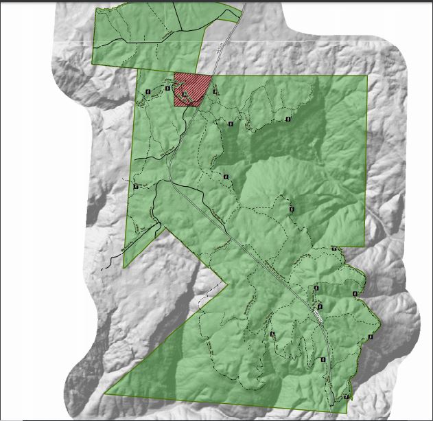
Many of the roads have nice markers where they intersect 156 giving the impression that the road are well marked. However, this is not the case. And there a lot more roads than the map shows. So I had to do some guessing as to where I was most of the day. But due to the relatively small size of the park and the fact that roads either loop or dead end, it was hard to get lost.
I started with a trip to the lake. I had read that there was a water fall there. It took me a few minutes of looking to find the hiking trail that leads to the falls. The sign said .4 miles but either I was walking slower than normal of it is slightly further than that.
The trail kinda plays out and I had to just scramble over some rocks to get to the actual falls. There wasn’t much water but it was a nice hike.


The trail crossed over an interesting looking road but I never figured out how to get to it in the Jeep.
Next, I continued down CCC camp road. Google maps shows this going all the way to Sherwood. However, once I crossed over from Franklin Forest Land to Sherwood forest land I came to a locked gate. So I turned around and went back to the highway.
I then tried the other road that shows it goes through. I found the same; gated roads at the edge of Sherwood forest. So I went back out and looked for Hotel Point.
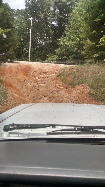
I turned on New Hotel Point road. There was fresh bulldozer work here. I was not clear form the map which trail I was on, but I did eventually come to an overlook. There were some interesting rocks and wash outs I had to navigate here. I used 4wd for the first time on these.


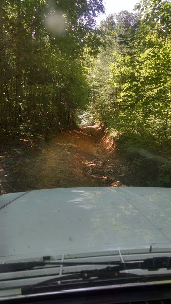


On the way back out I took Hotel Point Rd. This was a bit narrower and more interesting. I eventually made it back to Hwy 156.
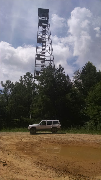
I then went to the north side of the road. I started on Pole Bridge road. I found an old fire tower there. The bottom steps were removed to keep me from climbing on it.
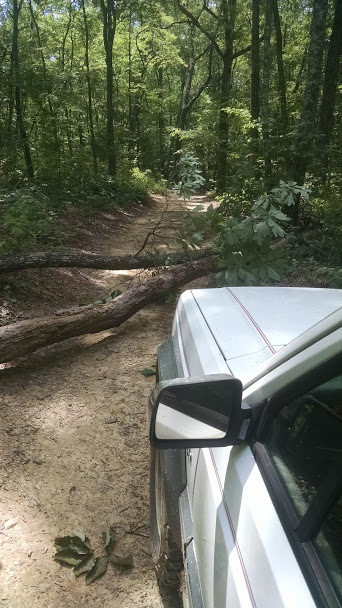
I came across a few downed trees on some of the spur trails.. Some I was able to get around or over and some I was not able to get past.


I found another overlook on the other side of the ridge. I think I was an Panther Hollow Road but I’m not sure.


The road kept going even though it did not show on the map.
I eventually made it back to the highway. I explored several other lops but they all began to look alike after a while and I made a few repeats.
There are also some trails in the power line cut that runs through the middle of the park. I made one crossing from trial to trail on the power line cut. These trail were made by ATVs but the Cherokee did fine on them.
I think I saw all there was to see tin the forest but I may make a return trip. Google maps says there is a cave spring there that I did not find. And, If I have a partner, I may explore more of the power line cuts.
The Jeep ran great. I did most of the roads in 2wd. 4wd was mostly to use low range for speed control. The Jeep never ran hot or had any trouble at all.